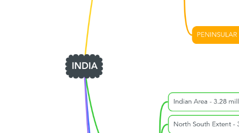
INDIA
by MISHA BANSAL 215199


1. SUB-DIVISION
1.1. NORTHERN PLAIN
1.1.1. Level & flat land
1.2. DESSERTS
1.2.1. Dry, Hot & Sandy
1.3. HIMALAYAS
1.3.1. HIMADRI
1.3.1.1. World's Highest Peaks found in this range.
1.3.2. HIMACHAL
1.3.2.1. Popular Hill Stations
1.3.3. SHIWALIK
1.3.3.1. Southernmost Range
1.4. ISLANDS
1.4.1. LAKSHADWEEP
1.4.1.1. Coral islands in Arabian Sea
1.4.2. ANDAMAN & NICOBAR ISLANDS
1.4.2.1. Bay of Bengal
1.5. COASTAL PLAINS
1.5.1. Sunderban Delta
1.5.2. Western & Eastern coastal plains
1.6. PENINSULAR PLATEAU
1.6.1. Highly uneven
1.6.2. Coal & Iron Ore
1.6.3. Oldest hill range Aravalli Hills; Numerous valleys & ranges
1.6.4. Western Ghats & Eastern Ghats
